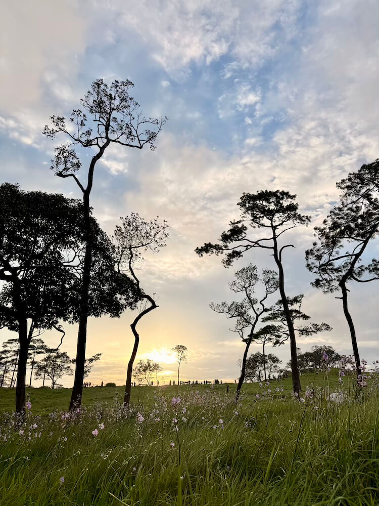
While the Thai lowlands swelter in stifling heat, cool winds carry mist across alpine meadows studded with wildflowers and long-trunked pines. Phu Soi Dao is not at all the kind of destination most people associate with Thailand, but ever since I’d read a feature about it in a local newspaper, we’d been planning a trip there.
Jump Ahead
- Watch the Whole Journey on YouTube
- The Wild Bees of Chattrakan
- Driving from Chattrakan to Phu Soi Dao
- Pre-Climb Paperwork and Prep
- Phu Soi Dao: The Climb Commences
- The Final Push over Death Hill
- Arrival at Larn Paa Sorn Campground
- Finding the Fairytale Son Than Waterfall
- The Sun Finally Appears over Phu Soi Dao
- Climbing Through Mists Down Phu Soi Dao
- Plan Your Trip
It took us a few years. Phu Soi Dao is remote, tucked up against the border with Laos, a few hours’ drive from any major city. Our opportunity finally came when we planned a two-week road trip through Isan. Since our route already took us through Loei, visiting neighboring Uttaradit Province added only a few hours to our drive from Bangkok.
Prefer to watch the journey? Join our family on the trail up Phu Soi Dao
This was also an opportunity to fulfill another long-held ambition: staying in one of the national park bungalows. We had seen these little cottages at many of Thailand’s government-operated tourist attractions. They always looked solid and the locations couldn’t be beat. Because Phu Soi Dao is so isolated, there is nowhere else to stay near the park, making the government cabins even more attractive.
Actually booking one, however, proved to be an adventure of its own. The official website was often unavailable, directing visitors to call a series of phone numbers during working hours. If you do make a booking, payment is slightly old-fashioned. Without a Thai bank account, you must visit a bank in person with a printed invoice, pay, and then send the receipt back to the park.
About two weeks after starting the process, we finally reached a Department of National Parks official who was incredibly helpful. She confirmed our payment, logged our reservation, and even pre-booked our tent and camping equipment for the hike. It was a bit of work, but in the end, we secured a four-bed bungalow for less than US$20 a night.
We had the bungalow. We had the gear. Now we just had to get to the mountain.
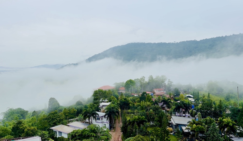
The fog was rolling off the mountains of Khao Kho in Phetchabun Province when we began the three-hour drive north through winding roads still slick with early monsoon rains. On drives this long, I usually plan a stop for the kids to reset. In Phitsanulok, we found the perfect opportunity in Chattrakan National Park.
The Wild Bees of Chattrakan Waterfall
Located between Khao Kho and Phu Soi Dao, Chattrakan Waterfall was an ideal place for a quick stop.
When in full flood, Chattrakan crashes into a giant boulder, which splits the torrent into two separate cascades. In late July, it was still early in the monsoon season, so only the lower branch of the falls was active.
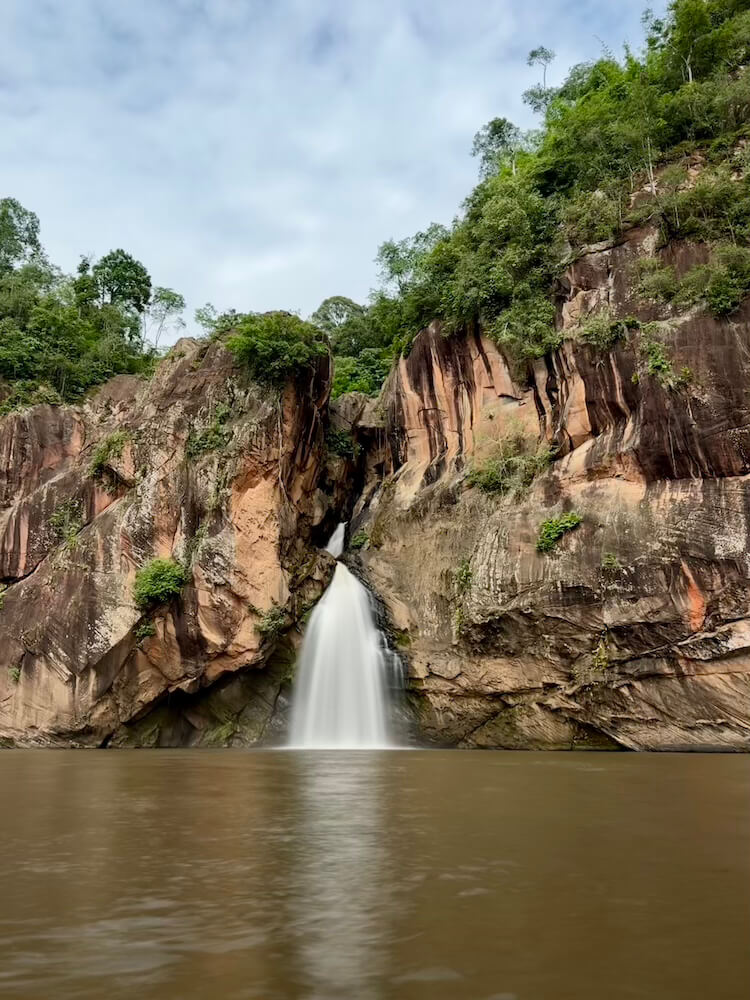
The waterfall empties into a large pool, surrounded by lawns, jungle, and an overhanging cliff more than 100 meters high. From the water’s edge, we could see the highest cliffs streaked with odd yellowish-brown formations, but we couldn’t make out what they were from where we stood.
A short hike solved the mystery. These crescent-shaped structures, which looked like something out of the Alien movies, were actually the hives of the Giant Asian Honey Bee (Apis dorsata).
Unlike their European cousins, these bees can’t be domesticated and build massive, exposed, single-combed hives. At Chattrakan, they typically nest between January and June, but several of the many hives we saw were clearly still active. The largest was covered in a coat of living bees that seemed to shimmer as waves rippled across the face of the hive.
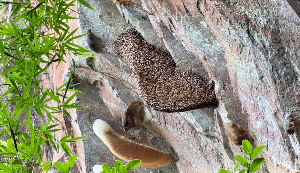
This, we learned, is a coordinated defensive performance by the bees. Thousands move in synchronized waves across the surface of the hive. The rippling motion is meant to intimidate predators, particularly wasps and birds.
We were duly intimidated and even though this wild forest honey is said to be especially sweet, we kept far away. The Giant Asian Honey Bee is also famous for a vicious sting, which like the ripples, is delivered as a team effort. No thanks.
Racing from Chattrakan to Phu Soi Dao
We’d spent more time than we intended lingering at the park, so by the time we were on the road again, we were in a rush. Phu Soi Dao officially closes at 4:30 p.m., so if we wanted to check-in to the bungalow we had worked so hard to get, we needed to arrive before then.

We’ve generally found that park staff are willing to help well beyond their appointed hours, so I knew we’d probably be fine. But the fear of being late and having nowhere to sleep had me driving faster than was probably sensible on the narrow, winding, but incredibly scenic road to Phu Soi Dao.
Despite my efforts, we were still ten minutes late for check-in, but the rangers did not disappoint and after the further payment of obscure but small fees and deposits, we were able to check in with no issue.
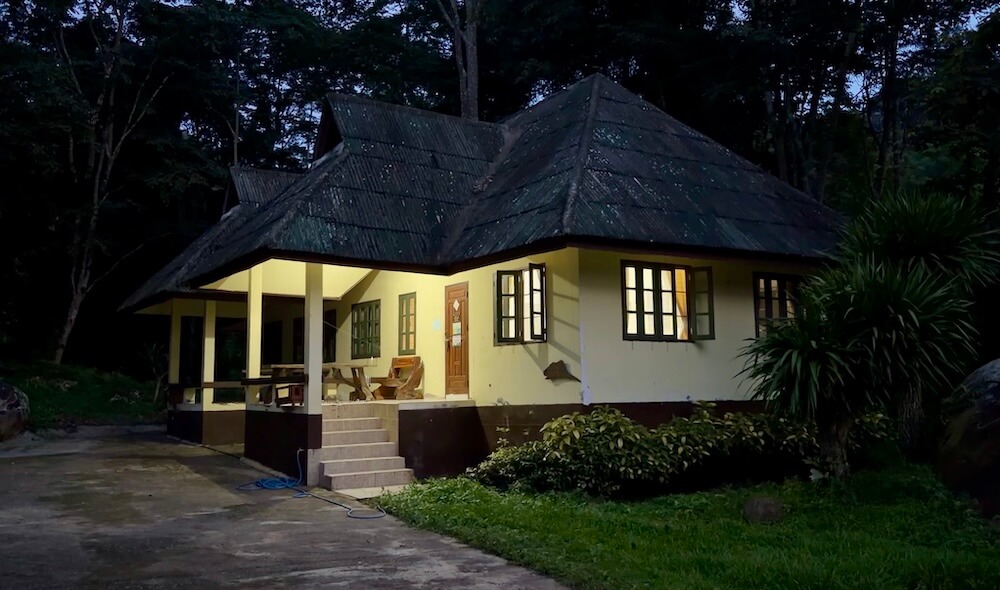
The bungalow was a sturdy little house at the end of a quiet road by the side of the stream. At 600 baht a night, it was a steal, no matter how much bureaucracy we’d had to navigate to book it. There was no electricity, though, which meant no way to prepare the instant noodles we’d brought for dinner. Fortunately, it turned out to be only a temporary power cut, and in the meantime a ranger boiled a kettle for us on a gas stove. Did I mention we were well taken care of?
Just as we were going to bed, a party of newly arrived hikers arrived at the bungalow next to ours. I probably hadn’t needed to worry about being ten minutes late after all.
Final Pre-Climb Paperwork
Registration for the hike opens at 7:00 a.m., so Kat walked over with our passports at the stroke of the hour. Many documents shuffled back and forth during the process. The most important of these was a card on which our entitlement to tents and sleeping bags was documented. It would also serve to record anything we bought at the pine meadow campsite. Kat had me under strict instructions to take special care of it at all times.
Weekends are by far the busiest time at Phu Soi Dao. One ranger told us around 300 people had registered to hike at least as far as the pine meadow that Saturday. Registration could have been confusing, but as the only foreigners making the ascent, we had been assigned someone to help, who had instructions to take “exquisite” care of us.
For a small per-kilogram fee, porters will carry your bags up the mountain. While we’d like to believe we’re trail-hardened, the likelihood of carrying at least one of the kids up the mountain was reason enough to use the service. At THB 30 per kilogram, less than US$1.00, it’s not a bad deal.
Because they’re carrying a dozen bags at the same time, the porters don’t walk with you. It’s not unusual for your gear to arrive a few hours after you do, so we still carried everything we expected to need on the hike.
The first songthaews began ferrying hikers from the headquarters campground to Phu Soi Dao Waterfall at 8:00 a.m. We joined a standing-room-only group of younger hikers and, after a 1.5-kilometer drive up the road, jumped off the back of the truck just below Phu Soi Dao Waterfall.
One final check-in: the ranger took another look at our all-important card and we were off, weaving through the weekend walkers clustered at the bottom of the trail.
Phu Soi Dao: The Climb Commences
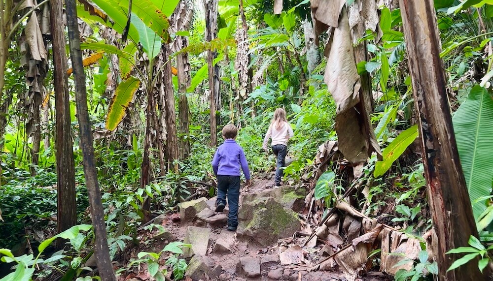
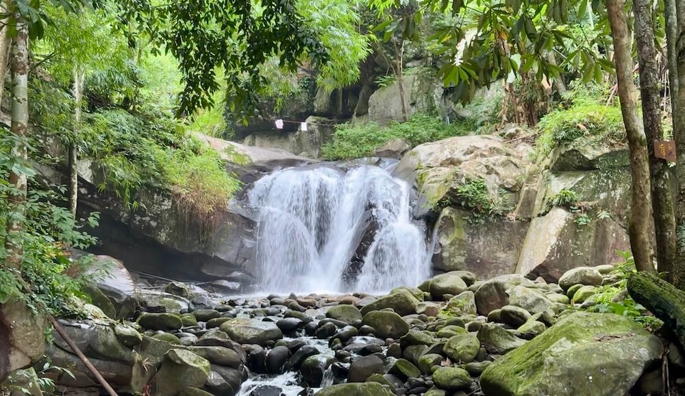
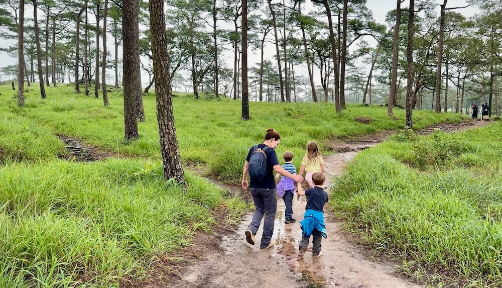
The hike began gently, a pleasant amble along the stream that forms the falls. Banana trees sprout alongside the trail, sometimes right in the middle of it. On a late-July morning, the path was neither too hot nor too wet. We couldn’t have hoped for anything more.
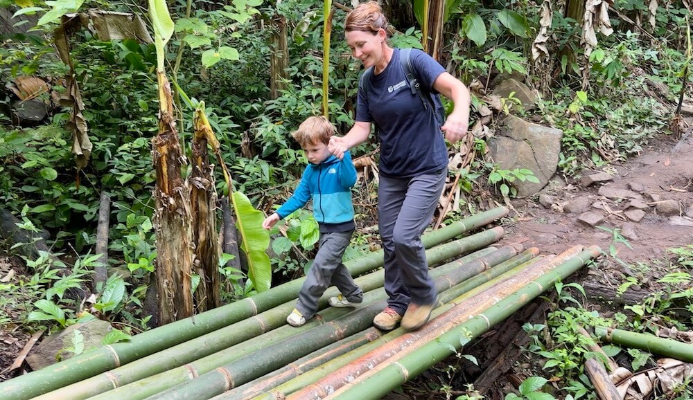
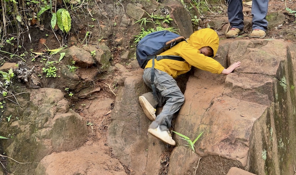
By the second kilometer, the trail began to climb in earnest. This is a steep hike, rising nearly 1.5 kilometers over only a 6.5 kilometer distance. Some of that is stairs, some of it is scrambling over rocks and roots, but the hike from here on is largely a ridge walk.
It’s a protected ridge, though, with thickets of oaks and chestnuts replacing the banana trees and bamboo as we climbed higher. Every kilometer or so, rest areas with bamboo benches provided welcome places to rest.
In these early hours, Isobel and Henry both told us this was the best hike they’d ever been on, even better than Doi Khun Tan. They only ever stopped to let anyone pass if we gave them direct instructions. They wouldn’t have needed to let anyone by at all if they hadn’t needed to wait for their four-year-old brother, who walked the entire distance himself.
He did have help, though. For the price of a photo or an occasional squeezed cheek, he collected so many treats from other hikers that he may have been the only one on the mountain who consumed more calories than he burned.
The Final Push over Death Hill
By the final big hill–called “Noen Prap Sian (เนินปราบเซียน), which translates as “The Master-Tamer Hill,” but is also known as “Death Hill”–even the kids’ young legs were fading.
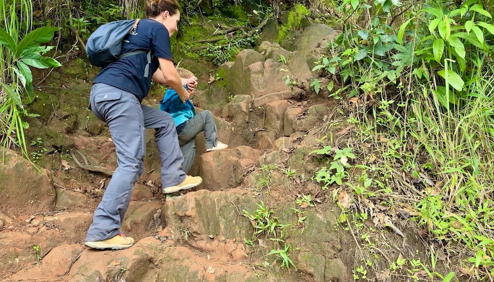
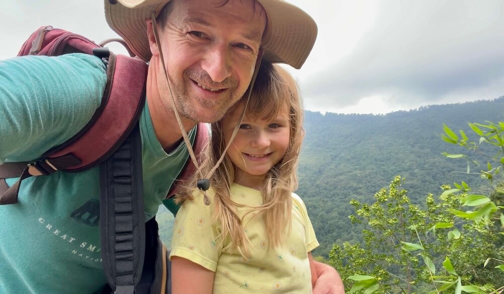
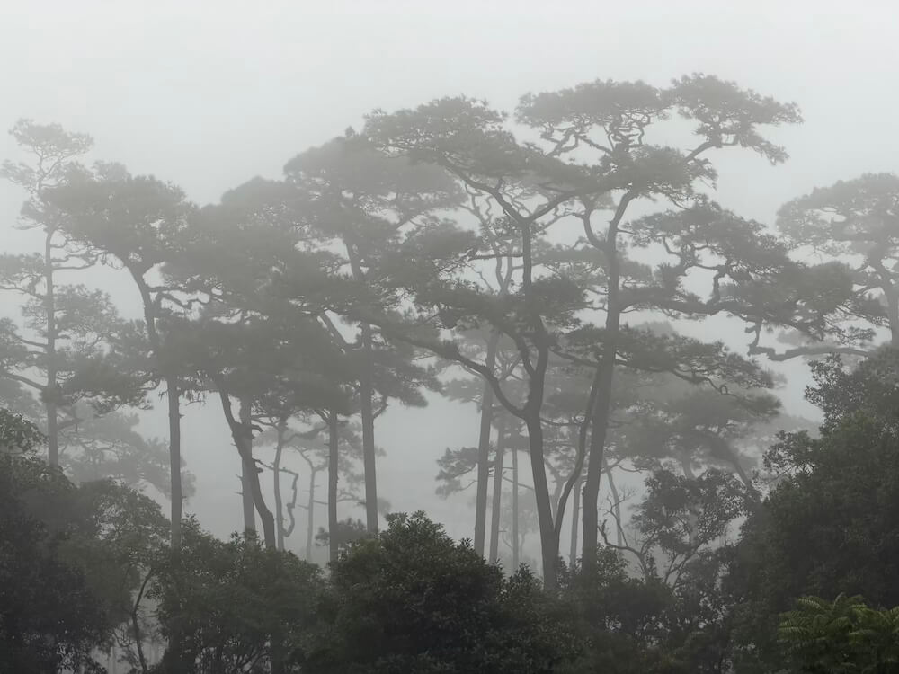
The trees give way at this point to bracken and fern, and the views open up. To the south, grey cliffs rise into mist, and anywhere we could see exposed rock, water ran down it from the clouds.
We could also see down the ridge and back into the valley where we started the morning. The sun was now shining over it, making the mists that blew across the trail seem darker and wilder by comparison.
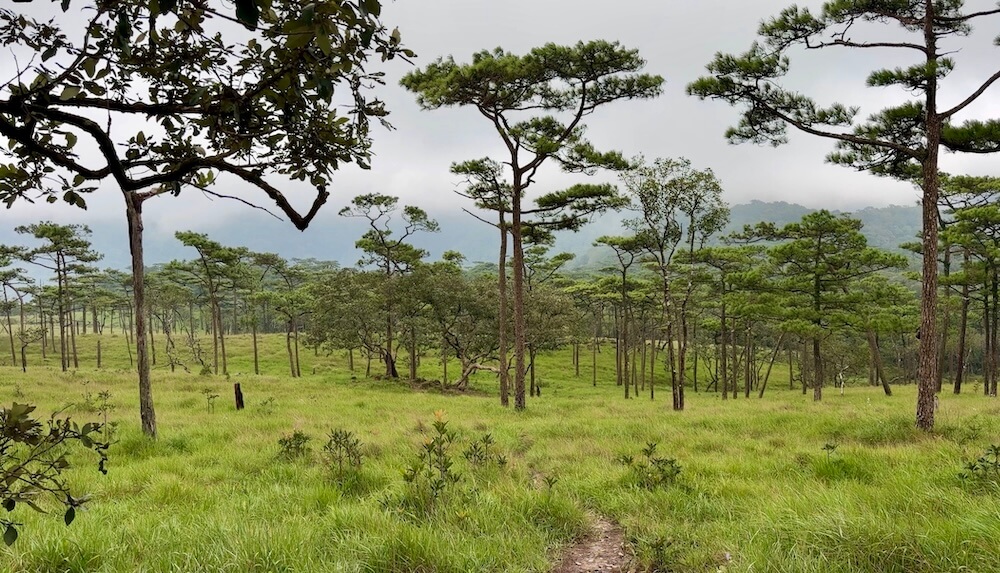
From here, we glimpsed the silhouettes of the first pines on the horizon. A few minutes’ more walking and we had descended into the Larn Paa Son (ลานสนสามใบ) pine meadow. The three-leaf pine (Pinus kesiya) is a tall tree, its trunk branchless until it divides into a few tightly grouped branches that form its crown. These pines in the mist felt like walking through a living Japanese print.
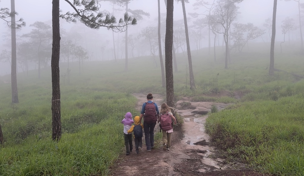
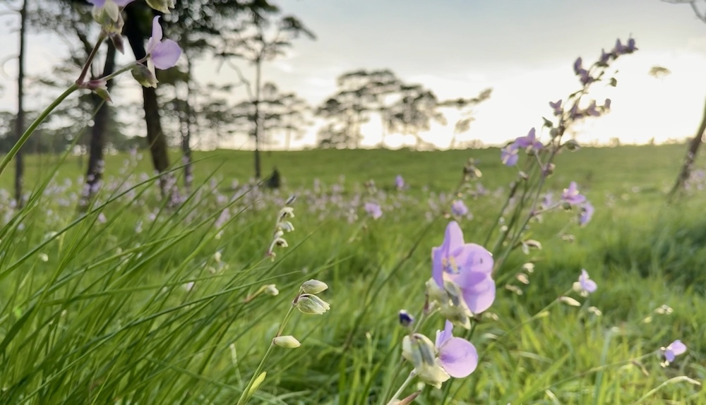
The trails through the meadow run over sandy soil which drains poorly, but forms the perfect habitat both for the pines and the Crested Naga flowers (Murdannia gigantea) which grow beneath them. These delicate violet wildflowers don’t normally show until August, but we saw them scattered throughout the meadow, occasionally blooming in dense clusters.
Buckets and Omelettes at Larn Paa Son Campground
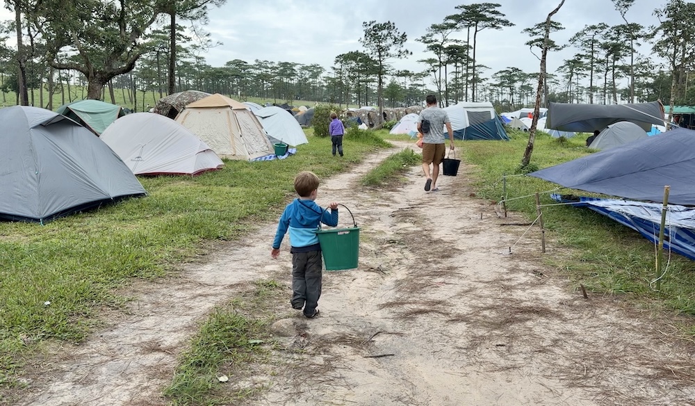
On the far side of the meadow is the high camp headquarters. We reported to the rangers there, who, after reviewing our precious card, took us to a pair of camouflage tents at the end of a row of ten. Most hikers bring up their own tents, and these were already springing up in tight formation around us. Absolutely no complaints about the assigned tents, though. Spacious, clean, and well located.
Besides tents, our card secured padding and sleeping bags. We’d have preferred our own, but again, these were perfectly fine in the circumstances. Finally, we received a bucket: required gear for using the camp toilets. We filled these from a tap just outside the latrines. After using the toilet, a couple of scoops from the bucket sends everything down. It’s a concept familiar to anyone who has traveled much in Thailand, but seeing dozens of people toting individual buckets at the same time was new.
The ranger station has a small kitchen that serves a single dish: an egg over rice. We ordered three, devoured them, and immediately ordered three more. Hot food after a hike is such a treat.
After setting up and stowing our gear in our tents, we were free to explore the meadows. The temperature was barely half of what it would be in Bangkok, which gave the kids more energy than the walk had taken.
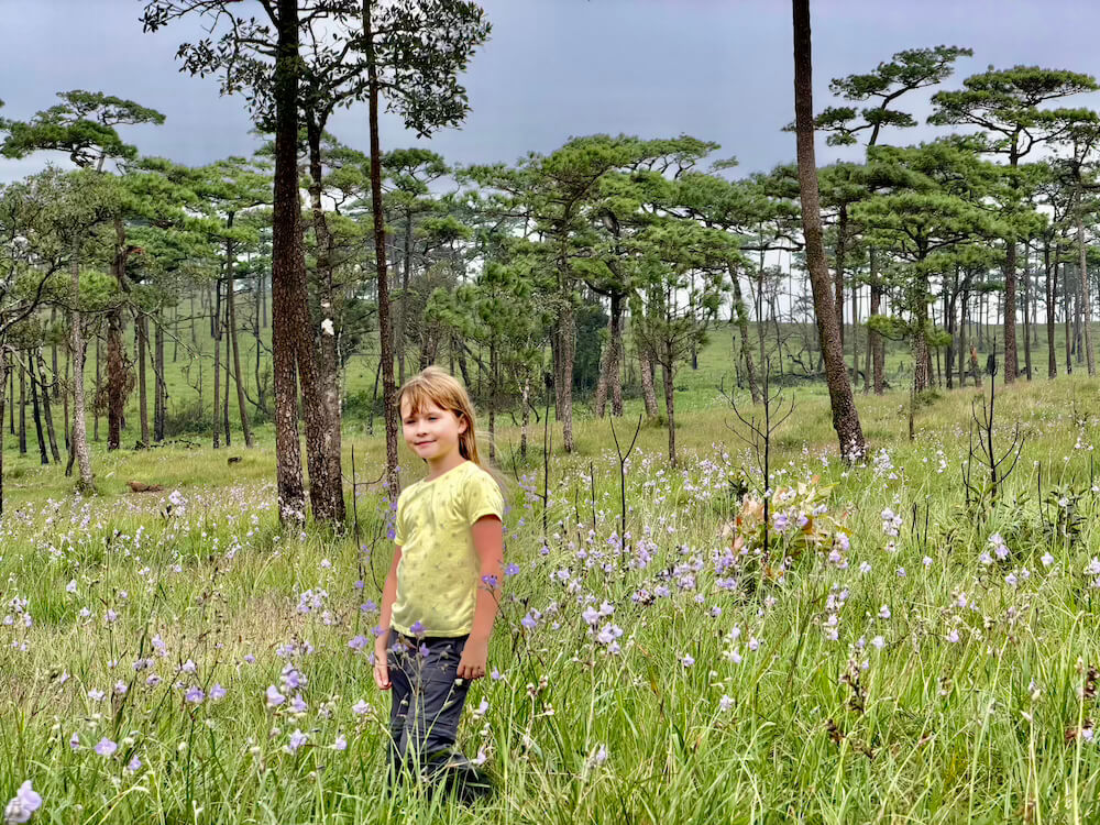
It’s a lovely setting: the grass was still fresh and new and studded with the Crested Naga blossoms waving in the same winds carrying clouds of mist through the pines. We walked up the ridge behind the camp along a sandy path towards some sort of stone marker.
This unassuming pillar, it turns out, marks the border between Thailand and Laos. A printed page tacked to a tree on the Thai side warns that this is not an official border crossing, but we couldn’t resist leaping over the line into Laos.
Our Isan road trip had gone international.
Finding the Fairytale Son Than Waterfall
Heading the opposite direction along the ridge, a trail descends through dense scrub to Son Than Waterfall. The meadow here is laced with trails heading nowhere in particular, but we eventually puzzled out that we should be following the red blazes.
Once on the right trail, it’s only a 500-meter walk, but it’s a very steep and wet half-kilometer. As the trail descends into the gorge, we needed to rely on a series of ropes strung alongside the trail. For the boys, these can make the descent even harder. They’ll hang onto the ropes, even if it means their feet don’t touch the ground.
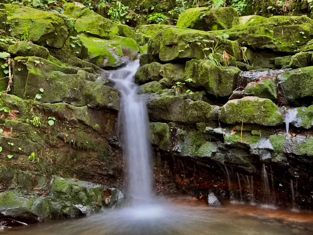
Steep and wet, yes, but these are also the two primary components of a good waterfall, and Son Than did not disappoint. The wet-black stone walls of the gorge and the boulders in the stream are everywhere covered in thick moss. Even in the dim grey light of a cloudy late afternoon, the vibrant greens shone.
The Sun Finally Appears over Phu Soi Dao
Back at camp, the sun had dropped low enough in the west to make its first appearance of the day. Campers gathered above the camp to watch it set, while behind us, fast-rolling clouds formed and dissolved on the high peak of Phu Soi Dao. These white clouds began to blush pink in the alpenglow of the setting sun.
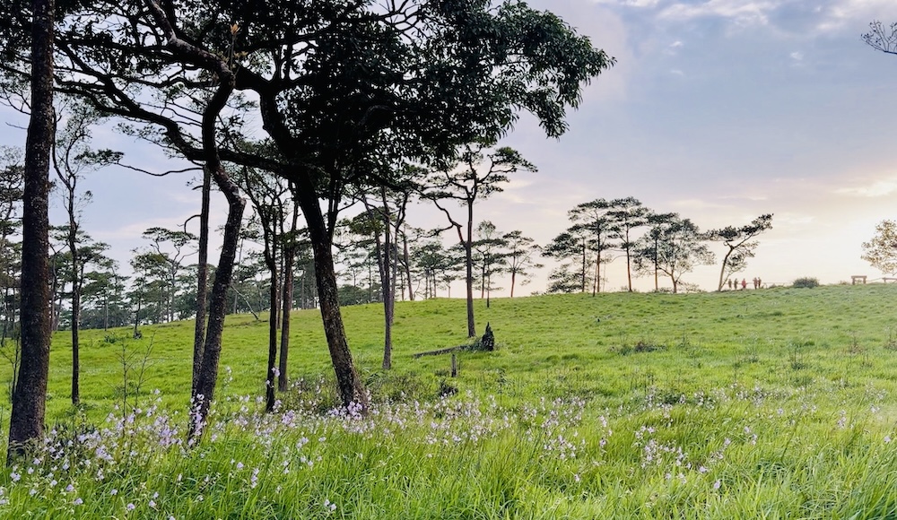
The Crested Nagas in the warm light of the setting sun, framed by silhouettes of towering Kesiya pines, was very easily the aesthetic highlight of the trip for me. To see them in the mists and in the sun was a treat, but I understand that the weather here is changeable enough that it’s not necessarily a rare one.
We’d had our fill of omelettes and rice, so we settled for a modest dinner of snacks we’d carried up. Chippy sandwiches, Nutella on bread, and a KitKat or two. While I took some final shots in the failing light, Kat helped the kids with their journal entries—a habit we’re trying to instill before the Big Trip.
Thais treat camping like Americans treat a day at the beach: they build a dense metropolis of tents, with any empty spaces soon filled by latecomers. Close neighbours and thin walls are a poor recipe for good sleep, and even after the lights turned off, the noise did not. After 9:00 p.m., quiet hours begin, and the rangers were good at enforcing the rule. By 10:00 p.m., the only sounds were muffled whispers, snores, and the echo of empty buckets bouncing against knees on the way to the latrines.
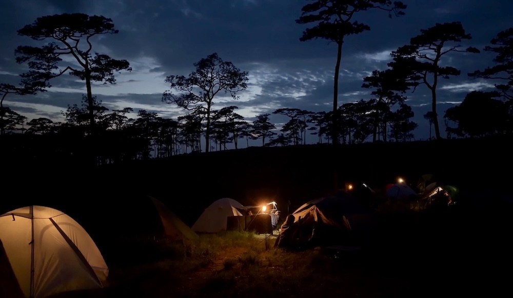
At least, these were the only sounds until the very early hours, when the wind and rain audibly strengthened. A high pitched roar from the pine trees would always warn that in a few seconds, a gust would blast the tent, threatening to shake it down. The steady patter of rain through the night focused my thoughts on tomorrow’s trail. Gripped by that anxiety special to half-sleep, I couldn’t think of anything else.
Climbing Through Mists Down Phu Soi Dao
It was all fine, of course. An ethereal dawn of white fog and whirling mists showed the tents to be perfectly fine, the trail no more wet than you’d expect in the tropics during the monsoon, and the path to the bottom as calm and clear as we could hope.
Since we planned to hit the road immediately after we reached the bottom, we opted to carry our own bags down. This meant redistributing the weight a bit and asking the kids to take turns carrying a couple of small bags. Good practice for our multi-day Nepal treks, now less than two months away.
If anything, the kids got more attention on the way down. People are always most impressed by things they know are difficult themselves, especially if they’re right in the middle of it. Well, it’s a lot harder to walk up Phu Soi Dao than down it, though my aging knees are bridging that divide.
After a bit more than three hours, we were back at the waterfall, where we caught a songthaew back to camp headquarters and the car. I had, as Kat instructed, taken good care of our transaction card, so we settled our omelette debts, got back our trash deposit, and enjoyed a quick meal at the park canteen.
As we ate, a songthaew arrived, carrying three Thai YouTube celebrities and at least a dozen of the people who were supporting them. We had seen them on the meadow and it looked like one of the location sets for Law & Order I used to see when I was a student in Brooklyn.
We’ve recently started posting our travel diaries to YouTube, but this was a reminder of where we don’t want to become: our faces to the camera and backs to the scenery.
We will always, I hope, have our eyes on the pines.
Plan Your Trip to Phu Soi Dao
Some links below are affiliate links. At no extra cost to you, we earn a small commission if you make a booking, which helps us keep our family on the road. Thank you for your support!
Getting There
Phu Soi Dao National Park sits in Uttaradit Province, tucked directly along the mountainous border with Laos. While remote, it connects smoothly via scenic rural highways if you’re undertaking an Isan or Northern Thailand road trip.
- By Car (Recommended): Driving from Bangkok takes approximately 6 to 7 hours via Highway 1 and Highway 11 north through Phitsanulok, then taking Highway 1268 toward Nam Pat and the park headquarters. If coming from Khao Kho, the drive north takes about 3 hours via Highway 2013 and Highway 1268.
- Via Phitsanulok (Public Transport/Fly-Drive): Fly or take the train/bus into Phitsanulok (the nearest regional transit hub with an airport). From Phitsanulok, rent a car or take a local bus toward Chattrakan/Nam Pat, followed by a local songthaew or taxi to the park headquarters.
For Thailand, and indeed, much of East Asia, 12go.asia is by far your best resource for booking transportation of all kinds..
Where to Stay
Because of Phu Soi Dao’s isolation, lodging options in the immediate area are limited to government-managed park options or self-contained high-altitude camping.
DNP Headquarters Bungalows: Sturdy, basic government cabins located at the park base along the stream. At roughly THB 600 (~US$17–20) per night, they offer an affordable and comfortable stay before your climb. Note: Electricity can be subject to temporary power cuts, but park rangers are exceptionally helpful.
High Camp (Larn Paa Son Pine Meadow): The official campsite at the top of the mountain (1,633m). You can either bring your own tent or arrange gear rentals at headquarters during check-in.
Pre-Hike Stops (Phitsanulok / Khao Kho): If arriving late from Bangkok, consider staying overnight in Phitsanulokor Khao Kho to tackle the scenic mountain drive early the following morning.
When to Go
Monsoon / Wildflower Season (July – October): The iconic time to climb! Rain brings the highland pine meadow to life and triggers the bloom of the violet Crested Naga flowers (Murdannia gigantea) (peaking in August/September). Expect cool winds, heavy mist, and slippery trail conditions.
Cool Season (November – Mid-January): Offers clear skies, vibrant sunrise/sunset panoramas, and crisp high-altitude air (temperatures can drop near freezing at night).
Annual Park Closure (Mid-January – June): The high-altitude pine plateau (Larn Paa Son) closes annually to allow the trail and plant life to rehabilitate and to prevent forest fires. Always verify reopening dates (typically July 1) before planning.
What It Costs
Park Entrance Fee: THB 200 for foreign adults (THB 100 for children); THB 40 for Thai citizens.
Hike Registration Hours: Registration opens at 7:00 a.m. at headquarters, and all hikers must begin the trail ascent between 8:00 a.m. and 2:00 p.m.
Porter Service: Available at the trailhead for THB 30 per kilogram. Very convenient if carrying heavy gear or traveling with younger family members.
Equipment Rentals: Tents, sleeping mats, and sleeping bags can be pre-booked or reserved at registration. You will be issued a tracking card at headquarters detailing all your pre-paid rentals and deposits—keep this card safe and accessible at all times!
Facilities at High Camp: High camp has basic latrines (bucket-flush system using fresh tap water) and a ranger kitchen serving simple hot meals (egg over rice). There is no main power grid at the campsite, so bring power banks for charging devices.

Pingback: Chiang Khan: Thailand’s Charming Mekong Riverside Town